


 User Center
 My Training Class
 Feedback


Wind And Hail Return To The Plains

After a couple of days of hiatus, the High Plains will see a resurgence of severe thunderstorms for the end of the week.
The Storm Prediction Center is highlighting back-to-back days with the chance of severe thunderstorms Thursday and Friday for areas closer to the Canadian border.

The primary weather hazards from this event will be damaging wind, hail, heavy rainfall and an isolated tornado in that order. The severe thunderstorms, at this time, do not appear as though they’ll be widespread. However where the thunderstorms form, they could be intense.
Below you’ll find a few snapshots regarding the approximate timing and location of the rain on Thursday:


Strengthening jet stream wind will help carry storm energy across the northern Rockies and into the High Plains Thursday. We have had this weather set-up several times so far this year (in particular this summer) where the thunderstorms get focused across the Dakotas and adjacent states. The movement of the thunderstorms will be to the east-northeast Thursday and Friday.
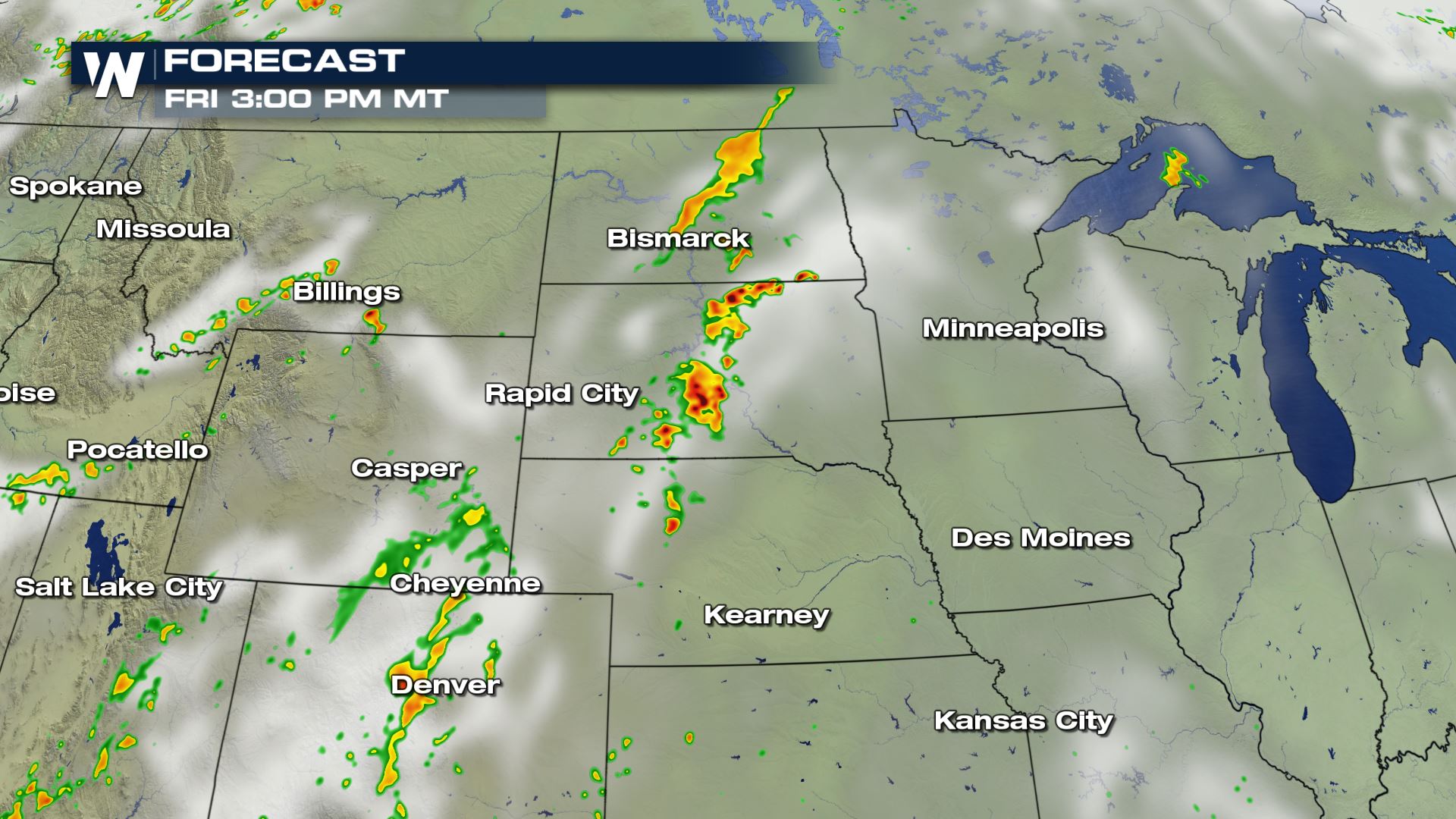
Below you’ll find a few snapshots on Friday’s weather forecast:


Severe storms are common in late July in this part of the country. If you have to travel through this area, allow a little extra time Thursday and Friday afternoon-evening. Monitor the latest forecast and listen for any additional weather alerts. If a warning is issued for your location, seek shelter immediately. Stay with us here at WeatherNation as we update you on this weather story.


Comments
Something to say?
Log in or Sign up for free