


 User Center
 My Training Class
 Feedback


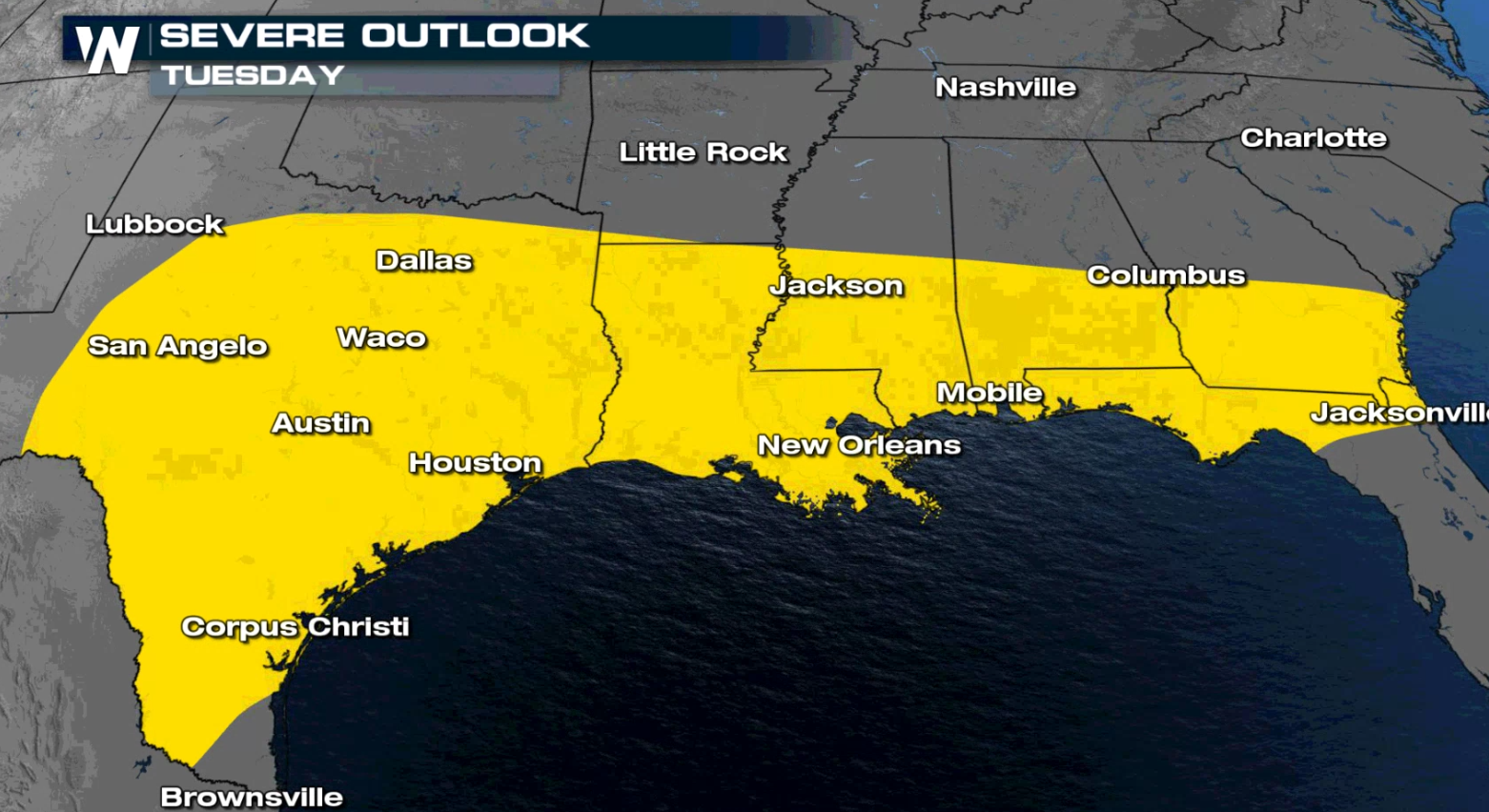
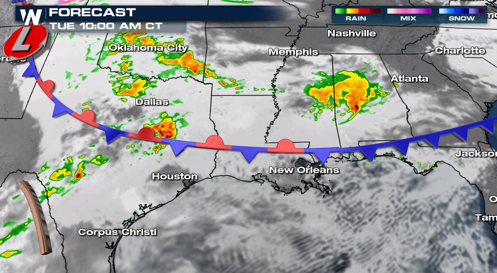
An active stalled front has been producing severe thunderstorms from the Plains to the Gulf Coast over the last couple of days. On Tuesday, more numerous storms are forecast to fire up over Texas and move eastward through the day. There is a marginal risk for severe storms (level 1 on a scale of 1 to 5) from central Texas to northern areas of Florida.
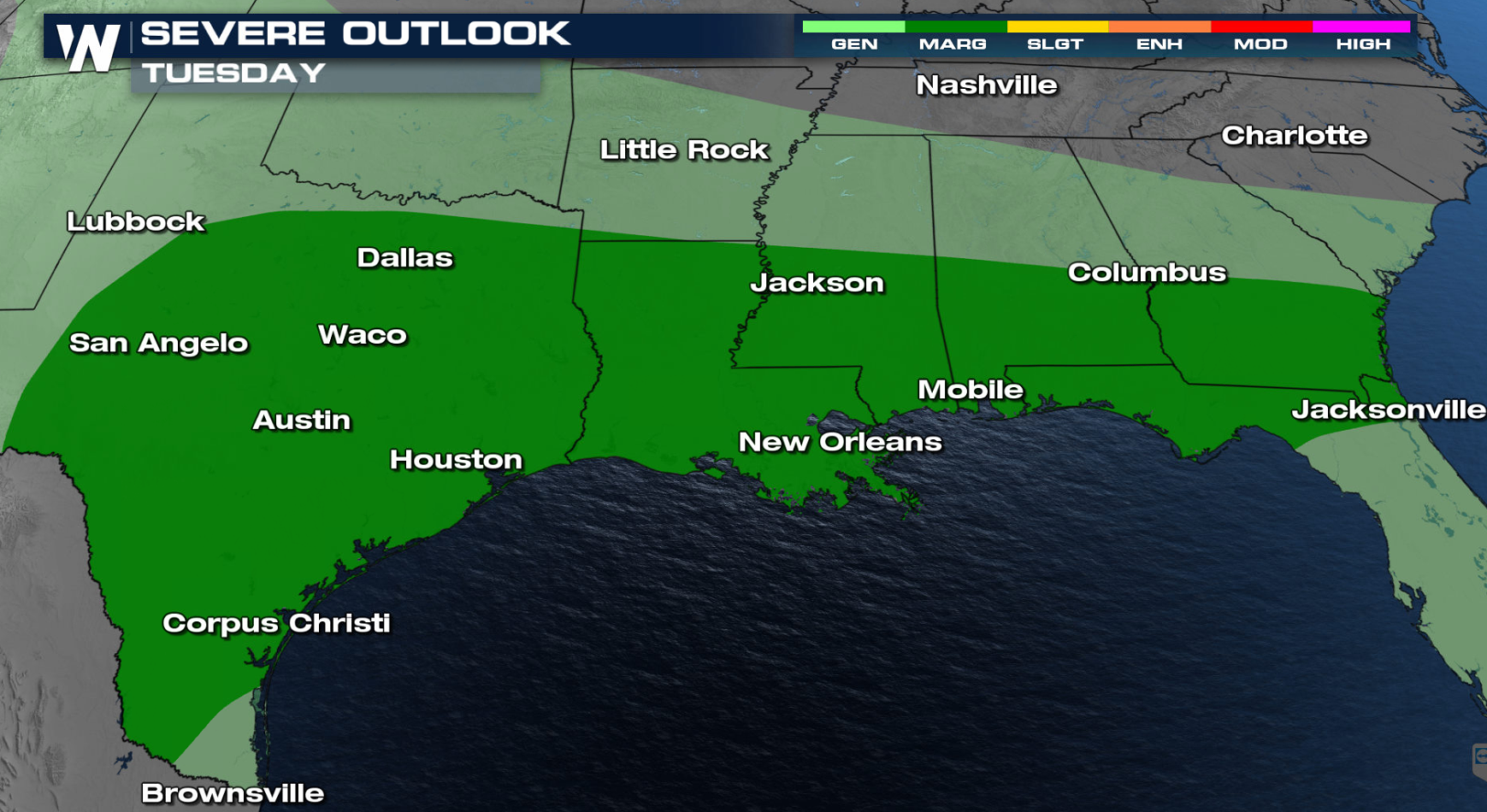
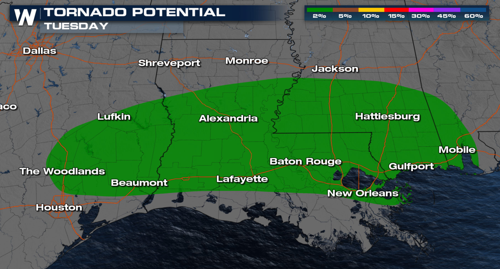
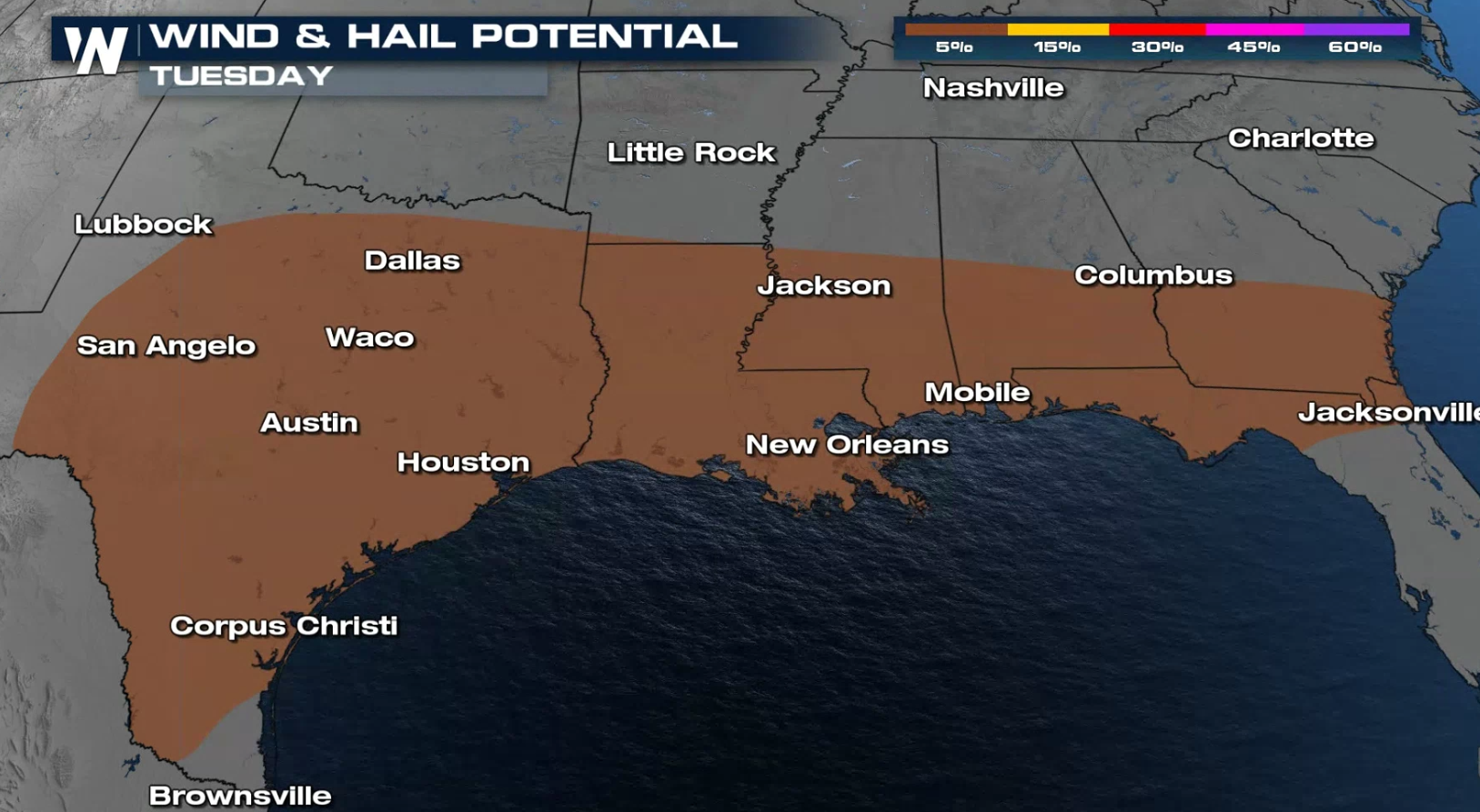
The main threats will be strong wind gusts over 58 mph and hail of 1″ in diameter or larger. Isolated tornadoes will also be possible.
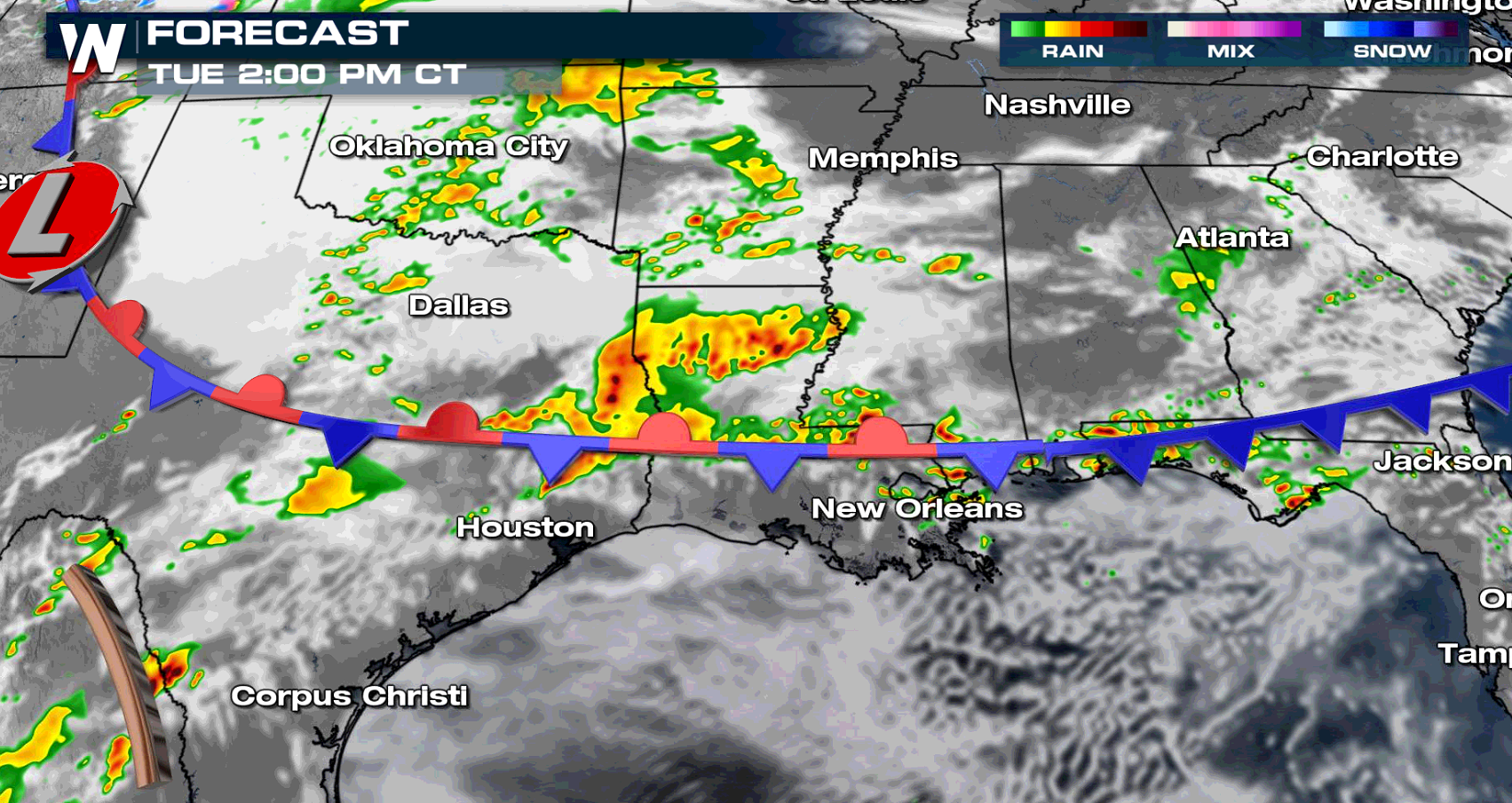
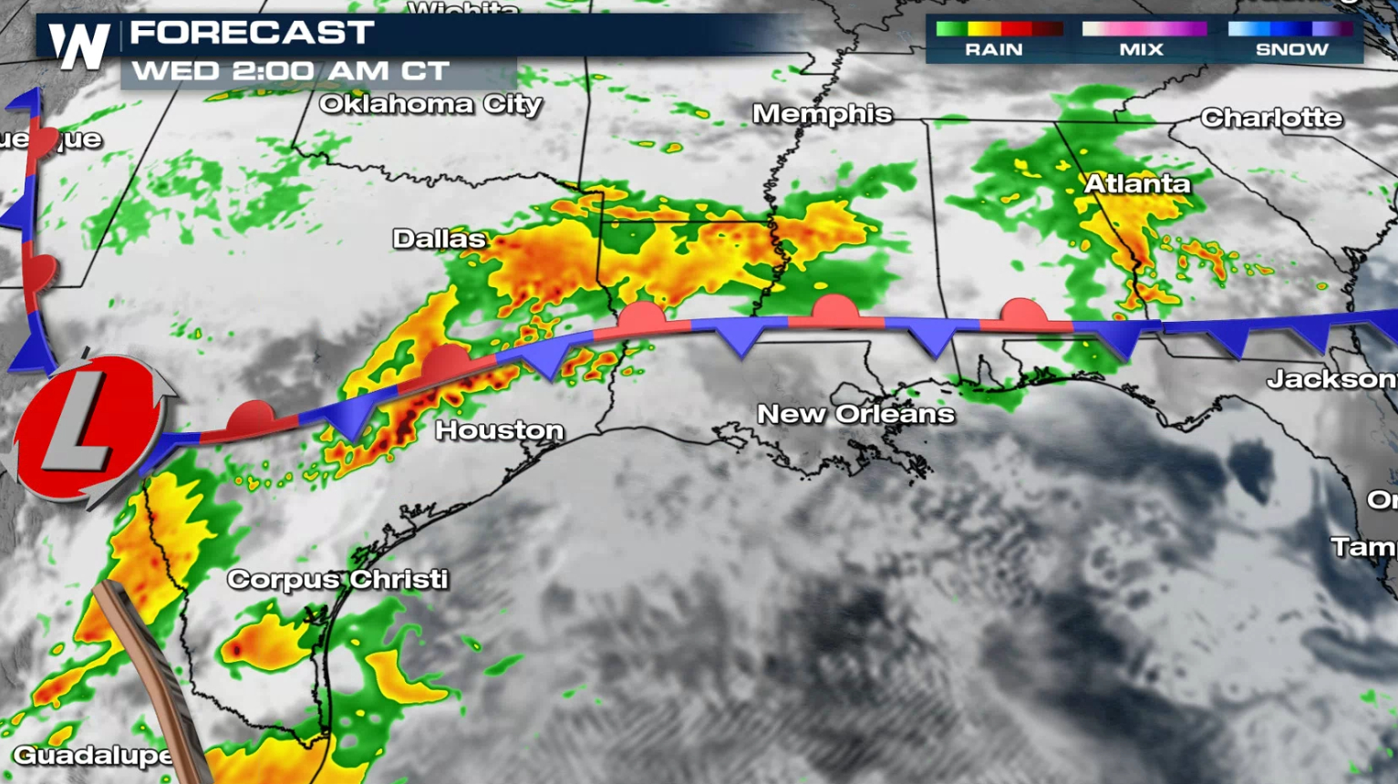
Storms will be ongoing Tuesday morning and increase in coverage and intensity through midday into the afternoon. The strongest storms will be located along and south of the stationary front.
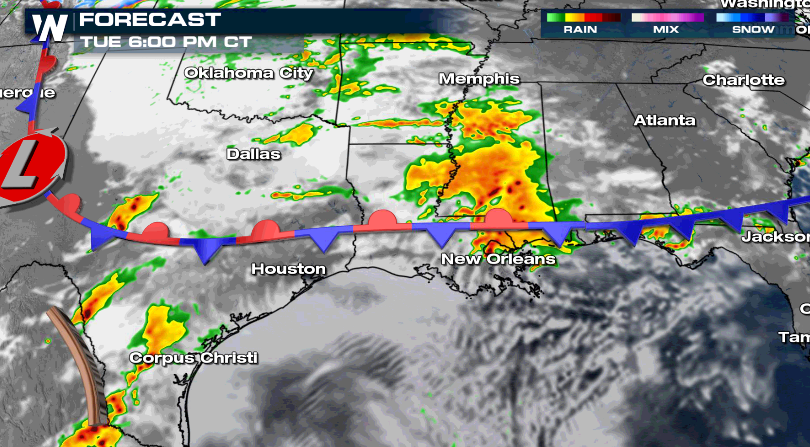
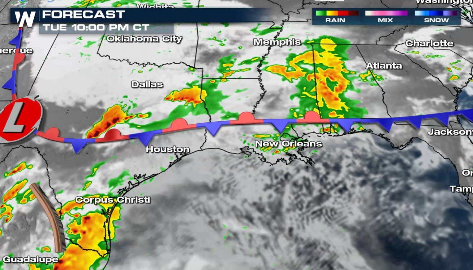
Waves of storms will continue to fire along the front through the evening. More thunderstorms will fire in Texas Tuesday night into early Wednesday morning.
If you are in the severe weather risk areas for Tuesday, be sure to check back with WeatherNation for the latest severe weather forecasts and alerts on-air and online.


Comments
Something to say?
Log in or Sign up for free